
Fichier:1801 Cary Map of the World on Mercator Projection - Geographicus - WorldMerc-cary-1801.jpg

Fichier d’origine (5 000 × 4 451 pixels, taille du fichier : 7,15 Mio, type MIME : image/jpeg)
Ce fichier et sa description proviennent de Wikimedia Commons.
| John Cary : A New Chart of the World, on Mercator's Projection: Exhibiting the Track & Discoveries of themost Eminent Navigators, to the Present Period.
( |
||||||||||||||||||||||||||
|---|---|---|---|---|---|---|---|---|---|---|---|---|---|---|---|---|---|---|---|---|---|---|---|---|---|---|
| Artiste |
|
|||||||||||||||||||||||||
| Titre |
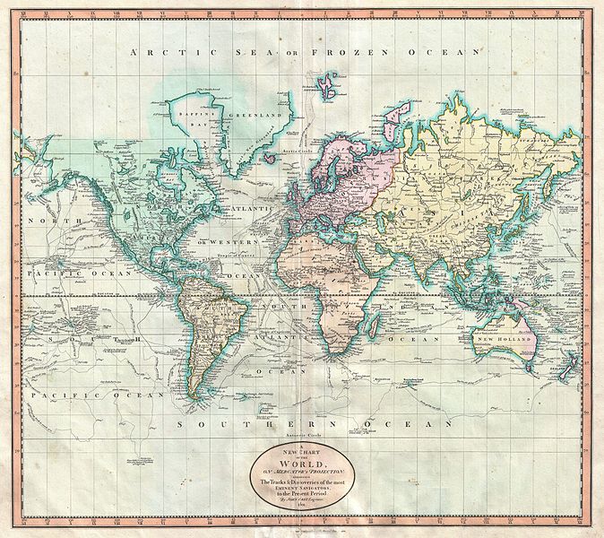
A New Chart of the World, on Mercator's Projection: Exhibiting the Track & Discoveries of themost Eminent Navigators, to the Present Period. |
|||||||||||||||||||||||||
| Description |
English: John Cary’s wonderful 1801 Map of the World on Mercator’s Projection. Details the entire world as it was known at the turn of the 19th century. Displays the continents in considerable detail but offers only minimal information in the Arctic and Antarctic latitudes. Designed to illustrate the explorations of the previous century, focusing specifically on the important explorations of Cook, Vancouver, Perouse, and Gores. Offers copious notations on explorations and unconfirmed discoveries throughout. Prepared in 1801 by John Cary for issue in his magnificent 1808 New Universal Atlas . |
|||||||||||||||||||||||||
| Date | 1801 (dated) | |||||||||||||||||||||||||
| Dimensions | hauteur : 18,2 pouces (46,3 cm) ; largeur : 20,2 pouces (51,4 cm) | |||||||||||||||||||||||||
| Numéro d’inventaire |
liens Geographicus : WorldMerc-cary-1801 |
|||||||||||||||||||||||||
| Source / photographe |
Cary, John, Cary's New Universal Atlas, containing distinct maps of all the principal states and kingdoms throughout the World. From the latest and best authorities extant. London: Printed for J. Cary, Engraver and Map-seller, No. 181, near Norfolk Street, Strand, 1808.
|
|||||||||||||||||||||||||
| Autorisation (Réutilisation de ce fichier) |
|
|||||||||||||||||||||||||
Historique du fichier
Cliquer sur une date et heure pour voir le fichier tel qu'il était à ce moment-là.
| Date et heure | Vignette | Dimensions | Utilisateur | Commentaire | |
|---|---|---|---|---|---|
| actuel | 22 mars 2011 à 11:45 | | 5 000 × 4 451 (7,15 Mio) | BotMultichill | {{subst:User:Multichill/Geographicus |link=http://www.geographicus.com/P/AntiqueMap/WorldMerc-cary-1801 |product_name=1801 Cary Map of the World on Mercator Projection |map_title=A New Chart of the World, on Mercator's Projection: Exhibiting the Track & |
Utilisation du fichier
La page suivante utilise ce fichier :
Usage global du fichier
Les autres wikis suivants utilisent ce fichier :
- Utilisation sur ar.wikipedia.org
- Utilisation sur en.wikipedia.org
- Utilisation sur it.wikipedia.org
- Utilisation sur pt.wikipedia.org