
Fichier:1929 New England road map.jpg

Fichier d’origine (5 289 × 3 489 pixels, taille du fichier : 3,41 Mio, type MIME : image/jpeg)
Ce fichier et sa description proviennent de Wikimedia Commons.
Description
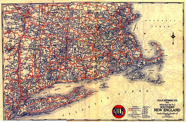
A 1929 road map of New England.
Scanned by Chris Mason, provided by John MacGregor.
Conditions d’utilisation
|
Cette œuvre est également dans le domaine public dans tous les pays pour lesquels le droit d’auteur a une durée de vie de 70 ans ou moins après la mort de l’auteur.
| |
| Ce fichier a été identifié comme étant exempt de restrictions connues liées au droit d’auteur, y compris tous les droits connexes et voisins. | |
Anything published in the U.S. before 1964 had to have its copyright renewed; a search of copyright renewal records copie d'archive sur Wayback Machine for Gousha (the map company) gives nothing in New England.
Historique du fichier
Cliquer sur une date et heure pour voir le fichier tel qu'il était à ce moment-là.
| Date et heure | Vignette | Dimensions | Utilisateur | Commentaire | |
|---|---|---|---|---|---|
| actuel | 5 mars 2005 à 06:41 | | 5 289 × 3 489 (3,41 Mio) | SPUI~commonswiki | {{PD}}A 1929 map of New England. Anything published in the U.S. before 1964 had to be renewed; a search of [http://www.scils.rutgers.edu/~lesk/copyrenew.html] for Gousha (the map company) gives nothing in New England. Scanned by Chris Mason, provided by J |
Utilisation du fichier
La page suivante utilise ce fichier :
Usage global du fichier
Les autres wikis suivants utilisent ce fichier :
- Utilisation sur en.wikipedia.org
- Utilisation sur it.wikiquote.org
- Utilisation sur nl.wikipedia.org
- Utilisation sur pl.wikipedia.org