
Fichier:Azerbaijan relief location map.jpg
Taille de cet aperçu : 783 × 600 pixels. Autres résolutions : 314 × 240 pixels | 627 × 480 pixels | 1 003 × 768 pixels | 1 200 × 919 pixels.
Fichier d’origine (1 200 × 919 pixels, taille du fichier : 698 kio, type MIME : image/jpeg)
Ce fichier et sa description proviennent de Wikimedia Commons.
Description
| Description |
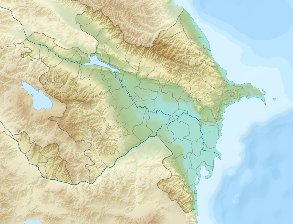
English: Location map of Azerbaijan.
Equirectangular projection. Strechted by 131.0%. Geographic limits of the map: * N: 42.0° N * S: 38.2° N * W: 44.5° E * E: 51.0° EMade with Natural Earth. Free vector and raster map data @ naturalearthdata.com. |
| Date | |
| Source | Travail personnel |
| Auteur | Uwe Dedering |
| Autres versions |
|


Conditions d’utilisation
Moi, en tant que détenteur des droits d’auteur sur cette œuvre, je la publie sous les licences suivantes :
Ce fichier est disponible selon les termes de la licence Creative Commons Attribution – Partage dans les Mêmes Conditions 3.0 (non transposée).
- Vous êtes libre :
- de partager – de copier, distribuer et transmettre cette œuvre
- d’adapter – de modifier cette œuvre
- Sous les conditions suivantes :
- paternité – Vous devez donner les informations appropriées concernant l'auteur, fournir un lien vers la licence et indiquer si des modifications ont été faites. Vous pouvez faire cela par tout moyen raisonnable, mais en aucune façon suggérant que l’auteur vous soutient ou approuve l’utilisation que vous en faites.
- partage à l’identique – Si vous modifiez, transformez, ou vous basez sur cette œuvre, vous devez distribuer votre contribution sous la même licence ou une licence compatible avec celle de l’original.

|
Vous avez la permission de copier, distribuer et modifier ce document selon les termes de la GNU Free Documentation License version 1.2 ou toute version ultérieure publiée par la Free Software Foundation, sans sections inaltérables, sans texte de première page de couverture et sans texte de dernière page de couverture. Un exemplaire de la licence est inclus dans la section intitulée GNU Free Documentation License. |
Vous pouvez choisir l’une de ces licences.
Historique du fichier
Cliquer sur une date et heure pour voir le fichier tel qu'il était à ce moment-là.
| Date et heure | Vignette | Dimensions | Utilisateur | Commentaire | |
|---|---|---|---|---|---|
| actuel | 9 juin 2010 à 21:12 | | 1 200 × 919 (698 kio) | Uwe Dedering | one more (ex-?)exklave |
| 9 juin 2010 à 20:48 |  | 1 200 × 919 (698 kio) | Uwe Dedering | {{Information |Description={{en|1=Location map of Azerbaijan. Equirectangular projection. Strechted by 131.0%. Geographic limits of the map: * N: 42.0° N * S: 38.2° N * W: 44.5° E * E: 51.0° E Made with Natural Earth. Free vector and raster map |
Utilisation du fichier
Les 3 pages suivantes utilisent ce fichier :
Usage global du fichier
Les autres wikis suivants utilisent ce fichier :
- Utilisation sur ab.wikipedia.org
- Utilisation sur ar.wikipedia.org
- Utilisation sur ast.wikipedia.org
- Utilisation sur av.wikipedia.org
- Utilisation sur azb.wikipedia.org
- Utilisation sur az.wikipedia.org
- Çigil
- Kiçik Zirə
- Daş Zirə
- Zənbil
- Azərbaycan coğrafiyası
- Daşlı ada
- Səngi Muğan
- Gil adası
- Xərə Zirə
- Çilov adası
- Pirallahı adası
- Adsız adası
- Tava adası
- Karvansaray adası
- Qutan adası
- Xanlar adası
- Qu adası
- Kür dili adası
- Qoltuq körfəzi
- Azərbaycan relyefi
- Kiçik Tava
- Böyük Tava
- Tavaaltı
- Yal adası
- Qarabatdaq adası
- Çurki adası
- Orta daş adası
- Daxili daş adası
- Yaşma adası
- Utilisation sur be-tarask.wikipedia.org
- Utilisation sur be.wikipedia.org
- Utilisation sur bn.wikipedia.org
Voir davantage sur l’utilisation globale de ce fichier.