
Fichier:Bahrain location map.svg

Taille de cet aperçu PNG pour ce fichier SVG : 465 × 600 pixels. Autres résolutions : 186 × 240 pixels | 372 × 480 pixels | 595 × 768 pixels | 794 × 1 024 pixels | 1 588 × 2 048 pixels | 1 246 × 1 607 pixels.
Fichier d’origine (Fichier SVG, nominalement de 1 246 × 1 607 pixels, taille : 136 kio)
Ce fichier et sa description proviennent de Wikimedia Commons.
Description
| Description |
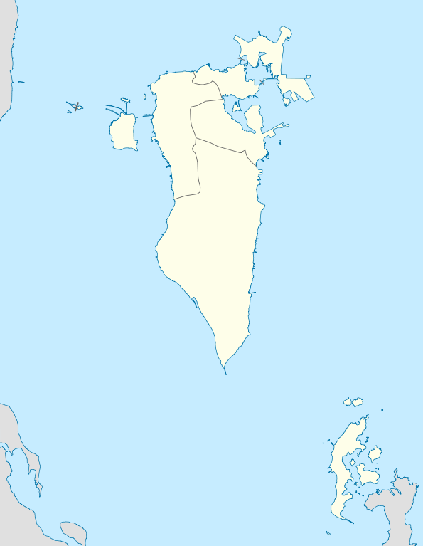
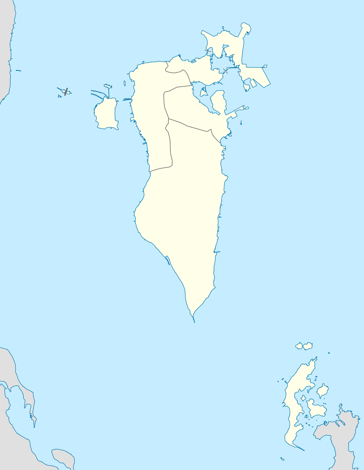
Deutsch: Positionskarte von Bahrain
Geographische Begrenzung der Karte:
English: Location map of Bahrain
Geographic limits of the map:
|
||||||||||||
| Date | |||||||||||||
| Source | Travail personnel | ||||||||||||
| Auteur | NordNordWest | ||||||||||||
| Autorisation (Réutilisation de ce fichier) |
|

|
Cette carte a été créée ou améliorée dans le Kartenwerkstatt (Atelier cartographique allemand). Vous pouvez également y proposer des cartes à améliorer.
|
Historique du fichier
Cliquer sur une date et heure pour voir le fichier tel qu'il était à ce moment-là.
| Date et heure | Vignette | Dimensions | Utilisateur | Commentaire | |
|---|---|---|---|---|---|
| actuel | 9 mars 2010 à 17:34 | | 1 246 × 1 607 (136 kio) | NordNordWest | upd |
| 19 décembre 2009 à 19:34 |  | 1 246 × 1 607 (161 kio) | NordNordWest | == {{int:filedesc}} == {{Information |Description= {{de|Positionskarte von Bahrain}} Geographische Begrenzung der Karte: * N: 26.34° N * S: 25.54° N * W: 50.2° O * O: 50.89° O {{en|Location map of Bahrain}} Geographic l |
Utilisation du fichier
La page suivante utilise ce fichier :
Usage global du fichier
Les autres wikis suivants utilisent ce fichier :
- Utilisation sur af.wikipedia.org
- Utilisation sur als.wikipedia.org
- Utilisation sur ba.wikipedia.org
- Utilisation sur be-tarask.wikipedia.org
- Utilisation sur be.wikipedia.org
- Utilisation sur bg.wikipedia.org
- Utilisation sur bn.wikipedia.org
- Utilisation sur bs.wikipedia.org
- Utilisation sur ceb.wikipedia.org
- Plantilya:Location map Bahrain
- Ra’s Khuşayfah
- Salá
- Capital
- Inner Anchorage
- Dawḩat Salwá
- West Spit
- Umm ash Shanin
- Little Sand Island
- Sitrah
- Jazīrat ash Shaykh
- Saya
- Ra’s al ‘Ayn
- Ain (pagklaro)
- Ra’s al Qal‘ah
- An Nabī Şāliḩ
- ‘Arad
- Al Muḩarraq
- Isa
- Liya
- Khusaifa
- ‘Ayn al Khaḑrā’
- Ra’s al Jazā’ir
- Ra’s al Jasrah
- Jiddah
- Ra’s al Yaman
- Jadam
- Jazīrat Ḩawār
- Hawar Island
- Howar
- Harta
- Jabal ad Dukhkhān
- Fasht ad Dībal
- Ra’s ad Dayr
- Ra’s al Barr
- Tyros
- Al Baḩrayn
- Bahrain
Voir davantage sur l’utilisation globale de ce fichier.