
Fichier:Battle of Pea Ridge 1.png
Fichier d’origine (2 000 × 1 462 pixels, taille du fichier : 2,03 Mio, type MIME : image/png)
Ce fichier et sa description proviennent de Wikimedia Commons.
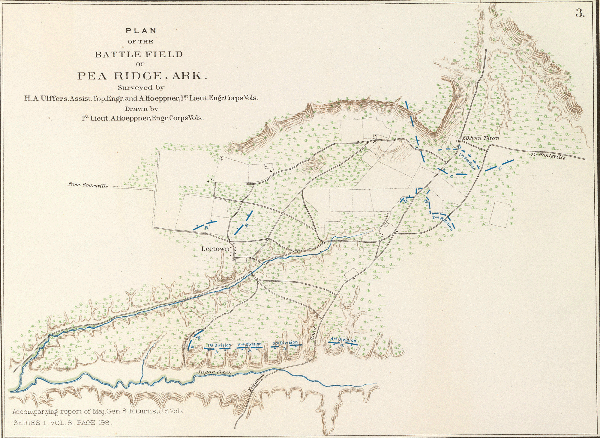
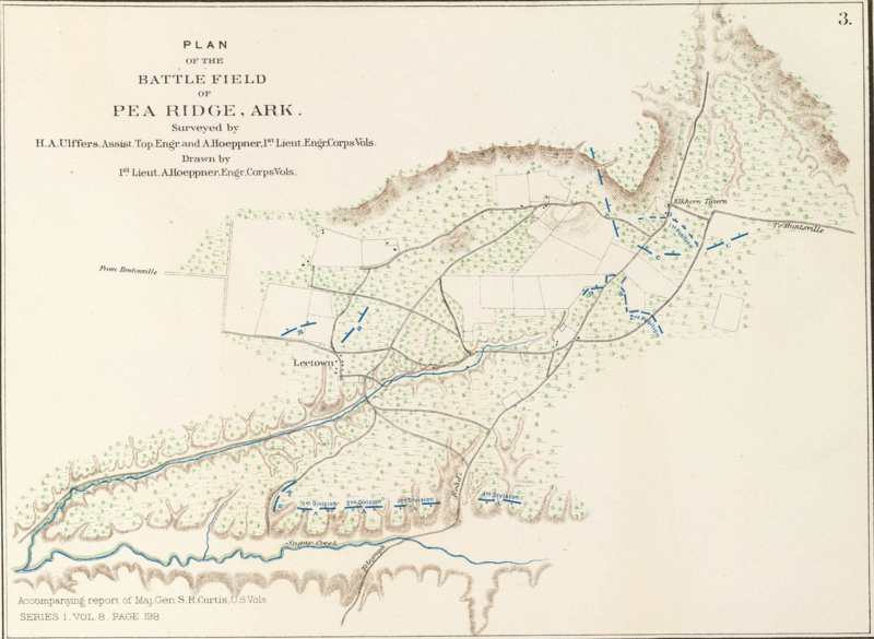
- English: Plan of the battle-field of Pea Ridge, Ark. Surveyed by H.A. Ulffers ... and A. Hoeppner
- Julius Bien & Co., Lith., N.Y. (1891-1895)
- Author: United States. War Department
- Date: 1895
- Higher-resolution version available from the David Rumsey Historical Map Collection
|
Cette œuvre est également dans le domaine public dans tous les pays pour lesquels le droit d’auteur a une durée de vie de 70 ans ou moins après la mort de l’auteur.
| |
| Ce fichier a été identifié comme étant exempt de restrictions connues liées au droit d’auteur, y compris tous les droits connexes et voisins. | |
Historique du fichier
Cliquer sur une date et heure pour voir le fichier tel qu'il était à ce moment-là.
| Date et heure | Vignette | Dimensions | Utilisateur | Commentaire | |
|---|---|---|---|---|---|
| actuel | 13 juin 2005 à 12:22 | | 2 000 × 1 462 (2,03 Mio) | ¡0-8-15! | *Map showing the system of rebel fortifications on the Mississippi River at Island No. 10 and New Madrid, also the operations of the U.S. forces under General John Pope against these positions. *Route from Keetsville to Fayetteville, Ark. *Plan of the bat |
Utilisation du fichier
La page suivante utilise ce fichier :
Usage global du fichier
Les autres wikis suivants utilisent ce fichier :
- Utilisation sur en.wikipedia.org
- Utilisation sur hu.wikipedia.org
- Utilisation sur it.wikipedia.org
- Utilisation sur ja.wikipedia.org
- Utilisation sur nl.wikipedia.org
- Utilisation sur pl.wikipedia.org
- Utilisation sur ru.wikipedia.org
- Utilisation sur zh.wikipedia.org