
Fichier:Burundi communes.png
Taille de cet aperçu : 505 × 600 pixels. Autres résolutions : 202 × 240 pixels | 404 × 480 pixels | 865 × 1 027 pixels.
Fichier d’origine (865 × 1 027 pixels, taille du fichier : 22 kio, type MIME : image/png)
Ce fichier et sa description proviennent de Wikimedia Commons.
Description
| Description |
|
||
| Date | 29 novembre 2006 (date de téléversement originale) | ||
| Source | La source n’a pas pu être reconnue automatiquement. « Travail personnel » supposé (étant donné la revendication de droit d’auteur). | ||
| Auteur | L’auteur n’a pas pu être identifié automatiquement. Il est supposé qu'il s'agit de : Electionworld (étant donné la revendication de droit d’auteur). | ||
| Autres versions |
Œuvres dérivées de ce fichier : |

.png)
Conditions d’utilisation
| Moi, propriétaire des droits d’auteur sur cette œuvre, la place dans le domaine public. Ceci s'applique dans le monde entier. Dans certains pays, ceci peut ne pas être possible ; dans ce cas : J’accorde à toute personne le droit d’utiliser cette œuvre dans n’importe quel but, sans aucune condition, sauf celles requises par la loi. |
Historique du fichier
Cliquer sur une date et heure pour voir le fichier tel qu'il était à ce moment-là.
| Date et heure | Vignette | Dimensions | Utilisateur | Commentaire | |
|---|---|---|---|---|---|
| actuel | 15 septembre 2015 à 21:50 | | 865 × 1 027 (22 kio) | NordNordWest | upd |
| 22 juillet 2015 à 23:51 |  | 865 × 1 027 (33 kio) | ThomasPusch | The water area isn't a commune. Therefore it's helpful to set it to another colour, commonly light blue for water bodies in maps. • La akva areo ne estas komunumo. Tial helpas meti ĝin al alia koloro, kutime helblua por akvaĵoj en mapoj. | |
| 14 janvier 2008 à 18:30 |  | 865 × 1 027 (59 kio) | Rarelibra | Updated map | |
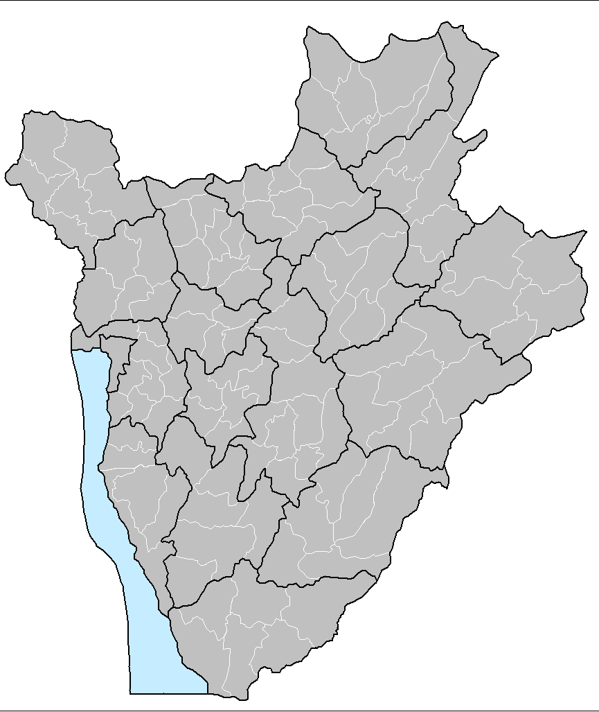
| 29 novembre 2006 à 14:17 |  | 1 025 × 624 (20 kio) | Electionworld | {{ew|en|Rarelibra}} == Summary == Map of the communes of Burundi. Created by Rarelibra 13:52, 31 March 2006 (UTC) for public domain use. Created using MapInfo Professional v7.5 and various mapping resources. == Licensing == {{PD-self}} |
Utilisation du fichier
Les 3 pages suivantes utilisent ce fichier :
Usage global du fichier
Les autres wikis suivants utilisent ce fichier :
- Utilisation sur en.wikipedia.org
- Utilisation sur eo.wikipedia.org
- Utilisation sur fi.wikipedia.org
- Utilisation sur id.wikipedia.org
- Utilisation sur it.wikipedia.org
- Utilisation sur ka.wikipedia.org
- Utilisation sur nl.wikipedia.org
- Utilisation sur pt.wikipedia.org
- Utilisation sur simple.wikipedia.org
- Utilisation sur sr.wikipedia.org
- Utilisation sur sv.wikipedia.org
- Utilisation sur zu.wikipedia.org