
Fichier:Chequamegon Bay map.jpg
Taille de cet aperçu : 413 × 599 pixels. Autres résolutions : 165 × 240 pixels | 590 × 856 pixels.
Fichier d’origine (590 × 856 pixels, taille du fichier : 216 kio, type MIME : image/jpeg)
Ce fichier et sa description proviennent de Wikimedia Commons.
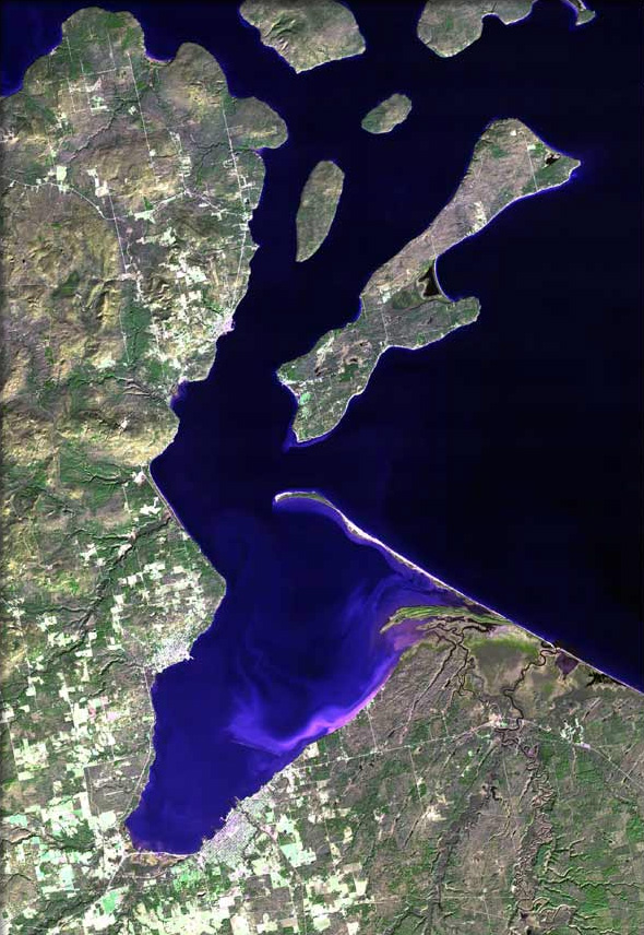
| Description | The raw satellite imagery shown in these images was obtain from NASA and/or the US Geological Survey. Post-processing and production by www.terraprints.com |
| Date | |
| Source | www.terraprints.com |
| Auteur | http://www.terraprints.com |
| Autres versions |
.jpg)
Ce fichier est disponible selon les termes de la licence Creative Commons Attribution 2.5 Générique.
- Vous êtes libre :
- de partager – de copier, distribuer et transmettre cette œuvre
- d’adapter – de modifier cette œuvre
- Sous les conditions suivantes :
- paternité – Vous devez donner les informations appropriées concernant l'auteur, fournir un lien vers la licence et indiquer si des modifications ont été faites. Vous pouvez faire cela par tout moyen raisonnable, mais en aucune façon suggérant que l’auteur vous soutient ou approuve l’utilisation que vous en faites.
Historique du fichier
Cliquer sur une date et heure pour voir le fichier tel qu'il était à ce moment-là.
| Date et heure | Vignette | Dimensions | Utilisateur | Commentaire | |
|---|---|---|---|---|---|
| actuel | 7 avril 2011 à 16:14 | | 590 × 856 (216 kio) | Ras67 | cropped |
| 25 octobre 2006 à 20:30 |  | 669 × 1 000 (92 kio) | Terraprints | {{Information |Description=The raw satellite imagery shown in these images was obtain from NASA and/or the US Geological Survey. Post-processing and production by http://www.terraprints.com |Source=http://www.terraprints.com |Date=20061025 |Author=http:// |
Utilisation du fichier
La page suivante utilise ce fichier :
Usage global du fichier
Les autres wikis suivants utilisent ce fichier :
- Utilisation sur ar.wikipedia.org
- Utilisation sur ceb.wikipedia.org
- Utilisation sur en.wikipedia.org
- Odanah, Wisconsin
- Sanborn, Wisconsin
- Ashland (town), Wisconsin
- Ashland, Wisconsin
- Bayfield (town), Wisconsin
- Washburn, Bayfield County, Wisconsin
- Washburn, Wisconsin
- Bayfield, Wisconsin
- Apostle Islands
- Chequamegon Bay
- Red Cliff, Wisconsin
- Salmo, Wisconsin
- Birch Hill, Wisconsin
- Diaperville, Wisconsin
- Franks Field, Wisconsin
- New Odanah, Wisconsin
- Pureair, Wisconsin
- Birch, Ashland County, Wisconsin
- Book Across the Bay
- PS City of Ashland
- Template:Chequamegon Bay
- User:DNOVAK25/sandbox
- Apostle Islands Sled Dog Race
- Applefest (Bayfield, Wisconsin)
- Antelope (shipwreck)
- Utilisation sur en.wikiquote.org
- Utilisation sur es.wikipedia.org
- Utilisation sur www.wikidata.org