
Fichier:DurhamParliamentaryConstituency2010Results.svg

Taille de cet aperçu PNG pour ce fichier SVG : 201 × 146 pixels. Autres résolutions : 320 × 232 pixels | 640 × 465 pixels | 1 024 × 744 pixels | 1 280 × 930 pixels | 2 560 × 1 860 pixels.
Fichier d’origine (Fichier SVG, nominalement de 201 × 146 pixels, taille : 60 kio)
Ce fichier et sa description proviennent de Wikimedia Commons.
Description
| Description |
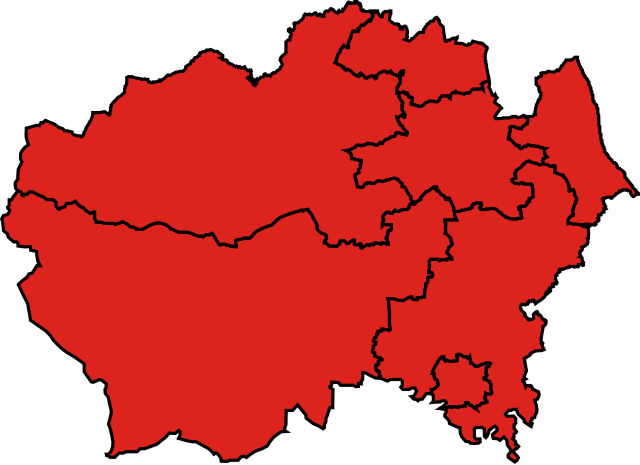
English: Map of Parliamentary constituencies in County Durham, showing the results by party in the general election of 2010. |
| Source | Travail personnel |
| Auteur | Wereon |
Conditions d’utilisation
| Moi, propriétaire des droits d’auteur sur cette œuvre, la place dans le domaine public. Ceci s'applique dans le monde entier. Dans certains pays, ceci peut ne pas être possible ; dans ce cas : J’accorde à toute personne le droit d’utiliser cette œuvre dans n’importe quel but, sans aucune condition, sauf celles requises par la loi. |
Historique du fichier
Cliquer sur une date et heure pour voir le fichier tel qu'il était à ce moment-là.
| Date et heure | Vignette | Dimensions | Utilisateur | Commentaire | |
|---|---|---|---|---|---|
| actuel | 17 décembre 2019 à 01:53 | | 201 × 146 (60 kio) | The- | Cropped |
| 13 juin 2016 à 09:40 |  | 211 × 156 (61 kio) | RazorThunder3 | Changed party colours to match that in Wikipedia:Index of United Kingdom political parties meta attributes | |
| 7 mai 2010 à 22:53 |  | 211 × 156 (126 kio) | Wereon | == {{int:filedesc}} == Map of Parliamentary constituencies in County Durham, showing the results by party in the general election of 2010. == {{int:license}} == {{PD-self}} Category:Locator maps of parliamentary constituencies of County Durham [[Cat |
Utilisation du fichier
La page suivante utilise ce fichier :
Usage global du fichier
Les autres wikis suivants utilisent ce fichier :
- Utilisation sur en.wikipedia.org