
Fichier:Leinster locator map.svg

Taille de cet aperçu PNG pour ce fichier SVG : 481 × 599 pixels. Autres résolutions : 192 × 240 pixels | 385 × 480 pixels | 616 × 768 pixels | 822 × 1 024 pixels | 1 643 × 2 048 pixels | 1 450 × 1 807 pixels.
Fichier d’origine (Fichier SVG, nominalement de 1 450 × 1 807 pixels, taille : 686 kio)
Ce fichier et sa description proviennent de Wikimedia Commons.
Description
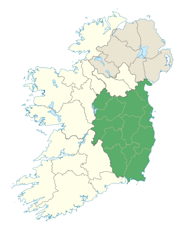
| Description | Locator map of Leinster. |
| Date | (UTC) |
| Source | |
| Auteur |
|
Conditions d’utilisation
Moi, en tant que détenteur des droits d’auteur sur cette œuvre, je la publie sous la licence suivante :
Ce fichier est disponible selon les termes de la licence Creative Commons Attribution – Partage dans les Mêmes Conditions 3.0 (non transposée).
- Vous êtes libre :
- de partager – de copier, distribuer et transmettre cette œuvre
- d’adapter – de modifier cette œuvre
- Sous les conditions suivantes :
- paternité – Vous devez donner les informations appropriées concernant l'auteur, fournir un lien vers la licence et indiquer si des modifications ont été faites. Vous pouvez faire cela par tout moyen raisonnable, mais en aucune façon suggérant que l’auteur vous soutient ou approuve l’utilisation que vous en faites.
- partage à l’identique – Si vous modifiez, transformez, ou vous basez sur cette œuvre, vous devez distribuer votre contribution sous la même licence ou une licence compatible avec celle de l’original.
Historique du fichier
Cliquer sur une date et heure pour voir le fichier tel qu'il était à ce moment-là.
| Date et heure | Vignette | Dimensions | Utilisateur | Commentaire | |
|---|---|---|---|---|---|
| actuel | 7 janvier 2012 à 21:48 | | 1 450 × 1 807 (686 kio) | NikNaks | Removing modern boundaries |
| 7 janvier 2012 à 20:10 |  | 1 450 × 1 807 (707 kio) | NikNaks | More detailed map | |
| 7 janvier 2012 à 19:52 |  | 400 × 500 (281 kio) | NikNaks93 | == {{int:filedesc}} == {{Information |Description=Locator map of Leinster. |Source=*File:Ireland_trad_counties_named.svg |Date=2012-01-07 17:50 (UTC) |Author=*File:Ireland_trad_counties_named.svg: *[[:File:Population_density_of_Ireland_map2002 |
Utilisation du fichier
Les 5 pages suivantes utilisent ce fichier :
Usage global du fichier
Les autres wikis suivants utilisent ce fichier :
- Utilisation sur ar.wikipedia.org
- Utilisation sur ast.wikipedia.org
- Utilisation sur az.wikipedia.org
- Utilisation sur be.wikipedia.org
- Utilisation sur bg.wikipedia.org
- Utilisation sur ca.wikipedia.org
- Utilisation sur ceb.wikipedia.org
- Utilisation sur cs.wikipedia.org
- Utilisation sur da.wikipedia.org
- Utilisation sur el.wikipedia.org
- Utilisation sur en.wikipedia.org
- Leinster
- Hill of Tara
- List of Ireland-related topics
- Turlough Hill
- Wicklow Mountains
- Lists of mountains in Ireland
- Bray Head
- Faughan Hill
- Lugnaquilla
- Slieve Bloom Mountains
- Kilmashogue
- Slieve Foy
- Glenmalure
- Carn Clonhugh
- Three Rock Mountain
- Kippure
- Ben of Howth
- Shielmartin Hill
- Hill of Uisneach
- Larch Hill
- Mount Leinster
- Clermont Carn
- Dalkey Hill
- Great Sugar Loaf
- Luggala
- Hill of Ben
- Knockeyon
- Djouce
- Mullaghcleevaun
- Tonelagee
- Camaderry
- Little Sugar Loaf
- Sugarloaf (West Wicklow)
- Church Mountain
- Tibradden Mountain
- Hill of Ward
- Mullaghmeen
Voir davantage sur l’utilisation globale de ce fichier.