
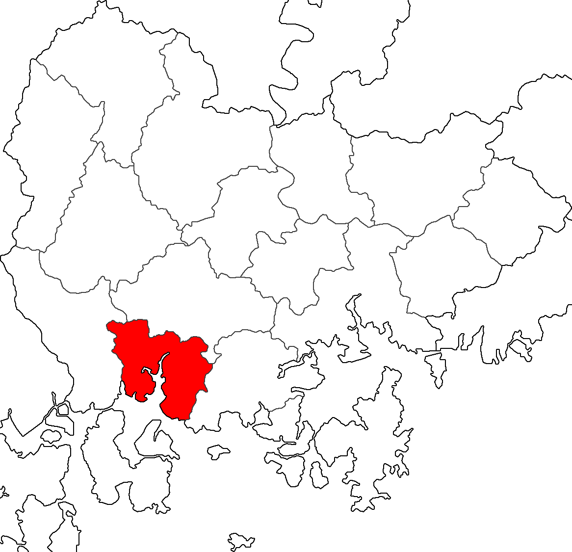
Fichier:Map Sacheon-si.png
Taille de cet aperçu : 621 × 599 pixels. Autres résolutions : 249 × 240 pixels | 498 × 480 pixels | 796 × 768 pixels | 1 166 × 1 125 pixels.
Fichier d’origine (1 166 × 1 125 pixels, taille du fichier : 70 kio, type MIME : image/png)
Ce fichier et sa description proviennent de Wikimedia Commons.

|
Vous avez la permission de copier, distribuer et modifier ce document selon les termes de la GNU Free Documentation License version 1.2 ou toute version ultérieure publiée par la Free Software Foundation, sans sections inaltérables, sans texte de première page de couverture et sans texte de dernière page de couverture. Un exemplaire de la licence est inclus dans la section intitulée GNU Free Documentation License. |
| Ce fichier est disponible selon les termes de la licence Creative Commons Attribution – Partage dans les Mêmes Conditions 3.0 (non transposée). | ||
| ||
| Ce bandeau de licence a été ajouté à ce fichier dans le cadre de la procédure de mise à jour des licences des images sous GFDL. |
Made from Maps of Korea.
Historique du fichier
Cliquer sur une date et heure pour voir le fichier tel qu'il était à ce moment-là.
| Date et heure | Vignette | Dimensions | Utilisateur | Commentaire | |
|---|---|---|---|---|---|
| actuel | 23 juillet 2014 à 22:07 | | 1 166 × 1 125 (70 kio) | CarrienStar | Changed into more detail and compact image |
| 24 juin 2011 à 01:51 |  | 302 × 218 (6 kio) | Asfreeas | Color and Form Match | |
| 17 avril 2011 à 03:56 |  | 302 × 218 (8 kio) | Kimhs5400 | Changwon, Masan, Jinhae city has been integrated. | |
| 23 décembre 2004 à 19:35 |  | 302 × 218 (6 kio) | Visviva | {{GFDL}}Made from Maps of Korea. |
Utilisation du fichier
La page suivante utilise ce fichier :
Usage global du fichier
Les autres wikis suivants utilisent ce fichier :
- Utilisation sur fa.wikipedia.org
- Utilisation sur id.wikipedia.org
- Utilisation sur it.wikipedia.org
- Utilisation sur ja.wikipedia.org
- Utilisation sur ko.wikipedia.org
- Utilisation sur th.wikipedia.org
- Utilisation sur zh-yue.wikipedia.org