
Fichier:Map albert gallatin 1836.jpg
Fichier d’origine (1 600 × 901 pixels, taille du fichier : 464 kio, type MIME : image/jpeg)
Ce fichier et sa description proviennent de Wikimedia Commons.
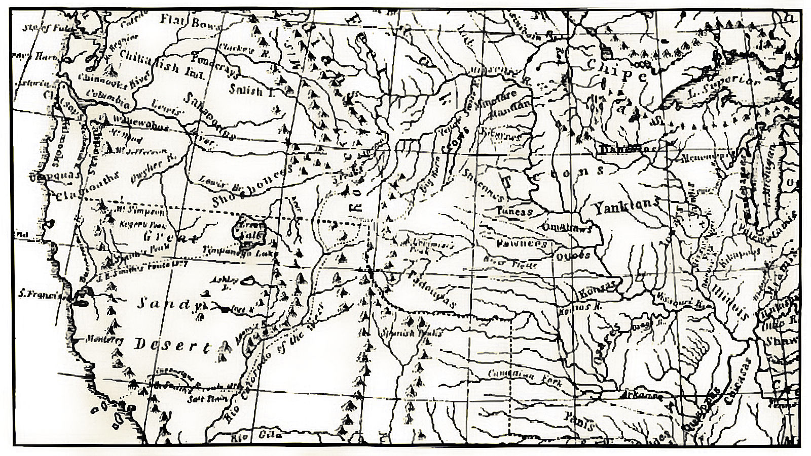
| Description | historic map by Albert Gallatin, of the western north america in 1836 with indian tribes | |||||
| Date | ||||||
| Source | www.xmission.com/~drudy/mtman/gif/gallatin.jpg | |||||
| Auteur | en:Albert Gallatin | |||||
| Autorisation (Réutilisation de ce fichier) |
|
|||||
Historique du fichier
Cliquer sur une date et heure pour voir le fichier tel qu'il était à ce moment-là.
| Date et heure | Vignette | Dimensions | Utilisateur | Commentaire | |
|---|---|---|---|---|---|
| actuel | 11 août 2006 à 23:34 | | 1 600 × 901 (464 kio) | DemonDeLuxe | {{Information |Description= historic map by Albert Gallatin, of the western north america in 1836 with indian tribes |Source= www.xmission.com/~drudy/mtman/gif/gallatin.jpg |Date= 1836 |Author= en:Albert Gallatin |Permission= {{PD-art}} |other_versi |
| 8 août 2006 à 18:04 |  | 898 × 513 (180 kio) | H-stt | {{Information |Description= historic map by Albert Gallatin, of the western north america in 1836 with indian tribes |Source= www.xmission.com/~drudy/mtman/gif/gallatin.jpg |Date= 1836 |Author= en:Albert Gallatin |Permission= {{PD-art}} |other_versi |
Utilisation du fichier
La page suivante utilise ce fichier :
Usage global du fichier
Les autres wikis suivants utilisent ce fichier :
- Utilisation sur de.wikipedia.org