
Fichier:Moll - A map of the world shewing the course of Mr Dampiers voyage round it from 1679 to 1691.png
Taille de cet aperçu : 800 × 460 pixels. Autres résolutions : 320 × 184 pixels | 640 × 368 pixels | 1 024 × 589 pixels | 1 709 × 983 pixels.
Fichier d’origine (1 709 × 983 pixels, taille du fichier : 2,25 Mio, type MIME : image/png)
Ce fichier et sa description proviennent de Wikimedia Commons.
Description
| Description |
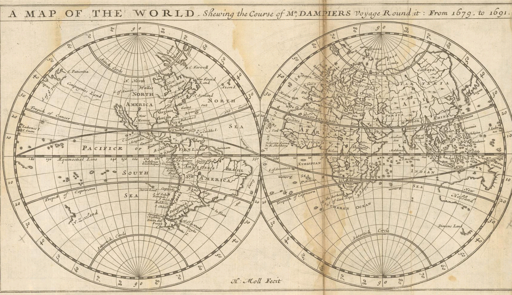
English: "A Map of the World Shewing the Course of Mr. Dampiers Voyage Round It from 1679 to 1691" (London, 1697) |
|||||||||||||||||||||||
| Date | ||||||||||||||||||||||||
| Source | Unprovided | |||||||||||||||||||||||
| Auteur |
|
|||||||||||||||||||||||
| Autres versions |
|
|||||||||||||||||||||||

_-_New_Holland_-_Dimens_Land.png)
Conditions d’utilisation
|
Cette œuvre est également dans le domaine public dans tous les pays pour lesquels le droit d’auteur a une durée de vie de 100 ans ou moins après la mort de l’auteur. | |
| Ce fichier a été identifié comme étant exempt de restrictions connues liées au droit d’auteur, y compris tous les droits connexes et voisins. | |
| Annotations | Cette image est annotée : Voir les annotations sur Wikimedia Commons |
Historique du fichier
Cliquer sur une date et heure pour voir le fichier tel qu'il était à ce moment-là.
| Date et heure | Vignette | Dimensions | Utilisateur | Commentaire | |
|---|---|---|---|---|---|
| actuel | 16 septembre 2005 à 23:45 | | 1 709 × 983 (2,25 Mio) | Frank Schulenburg | Herman Moll: ''A map of the world, shewing the course of Mr. Dampiers voyage round it: from 1679, to 1691'', London 1697 {{Creator:Herman Moll}} Category:17th century maps |
Utilisation du fichier
La page suivante utilise ce fichier :
Usage global du fichier
Les autres wikis suivants utilisent ce fichier :
- Utilisation sur ca.wikipedia.org
- Utilisation sur de.wikipedia.org
- Utilisation sur en.wikipedia.org
- Utilisation sur hr.wikipedia.org
- Utilisation sur pl.wikipedia.org
- Utilisation sur sh.wikipedia.org
- Utilisation sur tr.wikipedia.org