
Fichier:Periferia Anatolikis Makedonias ke Thrakis.png

Taille de cet aperçu : 706 × 599 pixels. Autres résolutions : 283 × 240 pixels | 566 × 480 pixels.
Fichier d’origine (800 × 679 pixels, taille du fichier : 91 kio, type MIME : image/png)
Ce fichier et sa description proviennent de Wikimedia Commons.
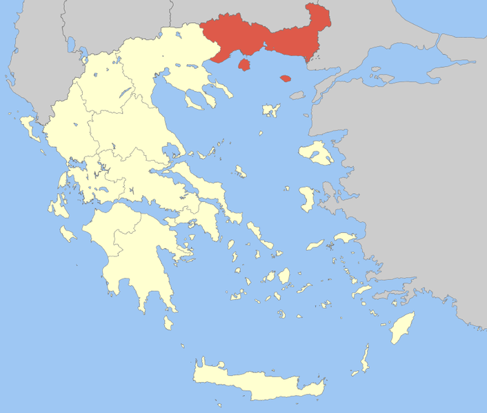
| Description | Locator Map of East Makedonia and Thrace Periphery, Greece |
| Date | |
| Source | Travail personnel |
| Auteur | Pitichinaccio |
| Moi, propriétaire des droits d’auteur sur cette œuvre, la place dans le domaine public. Ceci s'applique dans le monde entier. Dans certains pays, ceci peut ne pas être possible ; dans ce cas : J’accorde à toute personne le droit d’utiliser cette œuvre dans n’importe quel but, sans aucune condition, sauf celles requises par la loi. |
Historique du fichier
Cliquer sur une date et heure pour voir le fichier tel qu'il était à ce moment-là.
| Date et heure | Vignette | Dimensions | Utilisateur | Commentaire | |
|---|---|---|---|---|---|
| actuel | 5 avril 2008 à 13:43 | | 800 × 679 (91 kio) | Pitichinaccio | {{Information |Description=Locator Map of East Makedonia and Thrace Periphery, Greece |Source=eigene Arbeit |Date=April 5, 2008 |Author= Pitichinaccio }} {{PD-self}} Category:Periphery maps of Greece |
Utilisation du fichier
Les 19 pages suivantes utilisent ce fichier :
Usage global du fichier
Les autres wikis suivants utilisent ce fichier :
- Utilisation sur ay.wikipedia.org
- Utilisation sur az.wikipedia.org
- Utilisation sur da.wikipedia.org
- Utilisation sur de.wikipedia.org
- Utilisation sur el.wikipedia.org
- Utilisation sur en.wikipedia.org
- Abdera, Thrace
- Thasos
- Samothrace
- Kavala
- Drama, Greece
- Eastern Macedonia and Thrace
- Evros (regional unit)
- Rhodope (regional unit)
- Xanthi
- Didymoteicho
- Alexandroupolis
- Drama (regional unit)
- Kavala (regional unit)
- Komotini
- Orestiada
- Xanthi (regional unit)
- Kato Nevrokopi
- Prosotsani
- Doxato
- Paranesti
- Soufli
- Pangaio
- Myki, Greece
- Topeiros
- Arriana
- Iasmos
- 1990 Komotini events
- Template:Eastern Macedonia and Thrace
- Nestos (municipality)
- Maroneia-Sapes
- User:Chickstarr404/Gather lists/9857 – Patrick Leigh Fermor: An Adventure by Artemis Cooper
- User:Resident of Greece
- Utilisation sur es.wikipedia.org
- Utilisation sur fa.wikipedia.org
- Utilisation sur id.wikipedia.org
- Utilisation sur ja.wikipedia.org
- Utilisation sur ka.wikipedia.org
- Utilisation sur lt.wikipedia.org
- Utilisation sur mk.wikipedia.org
Voir davantage sur l’utilisation globale de ce fichier.