
Fichier:Santorini1848.jpg

Fichier d’origine (2 691 × 3 249 pixels, taille du fichier : 1,56 Mio, type MIME : image/jpeg)
Ce fichier et sa description proviennent de Wikimedia Commons.
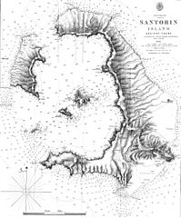
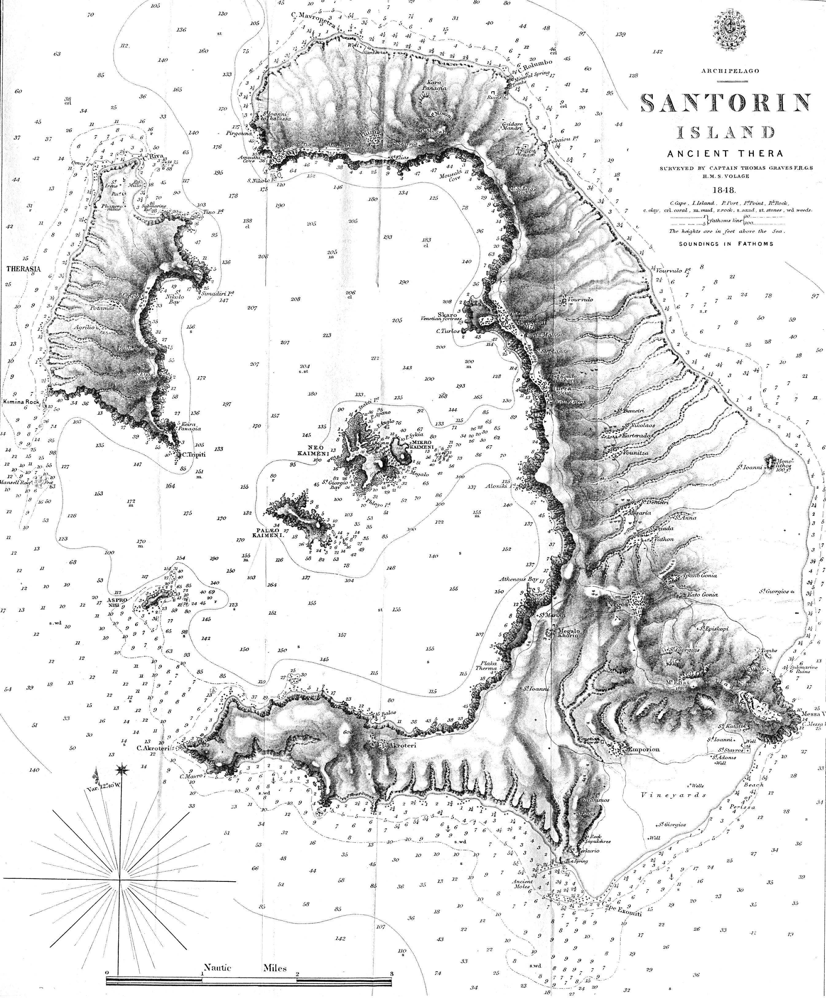
| Description | Map of the greek island Santorini from 1848 - "Santorin Island Ancient Thera Surveyed by Captain Thomas Graves F.R.G.S. H.M.S. Volage 1848" from The Journal of the Royal Geographical Society, Volume 20, 1850 to accompany "Some Account of the Volcanic Group of Santorin or Thera, once called Calliste, or the Most Beautiful. By Lieut. E. M. Leycester, R.N.". Full text of the JRGS article can be found on the Internet Artchive. | ||||
| Date | |||||
| Source | http://www.lib.utexas.edu/maps/historical/santorin_island_1848.jpg | ||||
| Auteur | Thomas Graves | ||||
| Autorisation (Réutilisation de ce fichier) |
|
||||
Historique du fichier
Cliquer sur une date et heure pour voir le fichier tel qu'il était à ce moment-là.
| Date et heure | Vignette | Dimensions | Utilisateur | Commentaire | |
|---|---|---|---|---|---|
| actuel | 24 mai 2007 à 18:36 | | 2 691 × 3 249 (1,56 Mio) | H-stt | {{Information |Description= Map of the greek island Santorini from 1848 - "Santorin Island Ancient Thera Surveyed by Captain Thomas Graves F.R.G.S. H.M.S. Volage 1848" from The Journal of the Royal Geographical Society, Volume 20, 1850 to accompany "Some |
Utilisation du fichier
La page suivante utilise ce fichier :
Usage global du fichier
Les autres wikis suivants utilisent ce fichier :
- Utilisation sur de.wikipedia.org
- Utilisation sur el.wikipedia.org
- Utilisation sur en.wikipedia.org
- Utilisation sur ro.wikipedia.org
- Utilisation sur sl.wikipedia.org