
Fichier:Granada-loc.svg

Taille de cet aperçu PNG pour ce fichier SVG : 512 × 452 pixels. Autres résolutions : 272 × 240 pixels | 544 × 480 pixels | 870 × 768 pixels | 1 160 × 1 024 pixels | 2 320 × 2 048 pixels.
Fichier d’origine (Fichier SVG, nominalement de 512 × 452 pixels, taille : 490 kio)
Ce fichier et sa description proviennent de Wikimedia Commons.
Description
| Description |
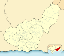
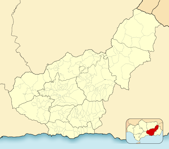
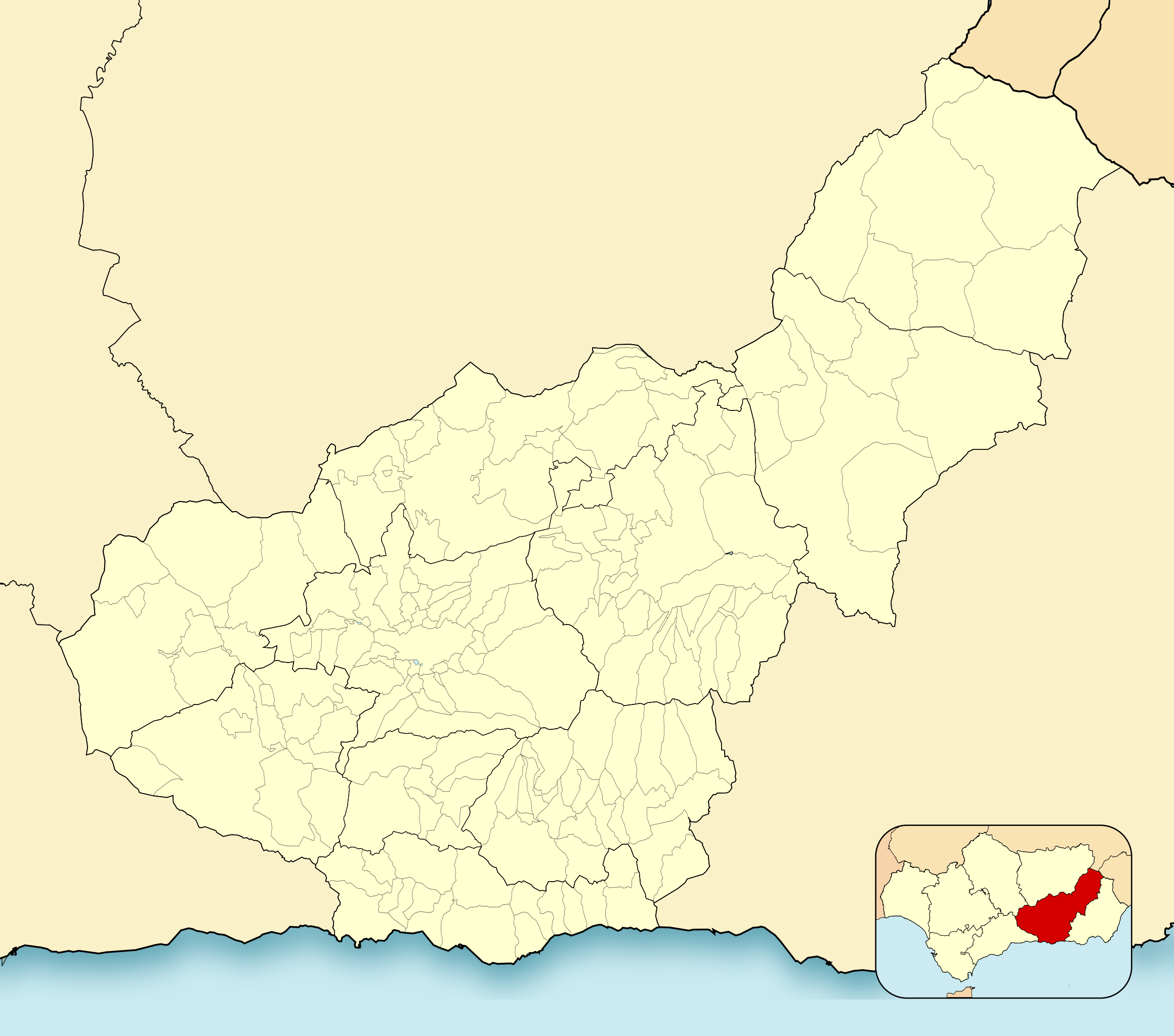
English: Location map of Province of Granada
Equirectangular projection, N/S stretching 130 %. Geographic limits of the map:
Español: Mapa de localización de la Provincia de Granada
Proyección equirrectangular, N/S estirada 130 %. Límites geográficos del mapa:
|
|
| Date | ||
| Source | Travail personnel basé sur : EspañaLoc.svg de HansenBCN | |
| Auteur | Miguillen | |
| SVG information |
|
Conditions d’utilisation
Miguillen, en tant que détenteur des droits d’auteur sur cette œuvre, la publie sous la licence suivante :
Ce fichier est disponible selon les termes de la licence Creative Commons Attribution – Partage dans les Mêmes Conditions 3.0 (non transposée).
Attribution: Miguillen
- Vous êtes libre :
- de partager – de copier, distribuer et transmettre cette œuvre
- d’adapter – de modifier cette œuvre
- Sous les conditions suivantes :
- paternité – Vous devez donner les informations appropriées concernant l'auteur, fournir un lien vers la licence et indiquer si des modifications ont été faites. Vous pouvez faire cela par tout moyen raisonnable, mais en aucune façon suggérant que l’auteur vous soutient ou approuve l’utilisation que vous en faites.
- partage à l’identique – Si vous modifiez, transformez, ou vous basez sur cette œuvre, vous devez distribuer votre contribution sous la même licence ou une licence compatible avec celle de l’original.
Historique du fichier
Cliquer sur une date et heure pour voir le fichier tel qu'il était à ce moment-là.
| Date et heure | Vignette | Dimensions | Utilisateur | Commentaire | |
|---|---|---|---|---|---|
| actuel | 2 janvier 2023 à 22:52 | | 512 × 452 (490 kio) | Lopezsuarez | Reverted to version as of 14:26, 6 April 2022 (UTC) |
| 2 janvier 2023 à 22:51 |  | 512 × 452 (490 kio) | Lopezsuarez | Reverted to version as of 16:02, 9 December 2010 (UTC) | |
| 6 avril 2022 à 16:26 |  | 512 × 452 (490 kio) | Lopezsuarez | Reverted to version as of 16:04, 9 December 2010 (UTC) | |
| 4 avril 2022 à 13:38 |  | 512 × 452 (1,55 Mio) | NACLE | quito el marco | |
| 4 avril 2022 à 13:35 |  | 512 × 452 (1,57 Mio) | NACLE | añado nuevos municipios | |
| 9 décembre 2010 à 18:04 |  | 512 × 452 (490 kio) | Miguillen | defecto | |
| 9 décembre 2010 à 18:02 |  | 512 × 452 (490 kio) | Miguillen | colores y mosca según convención | |
| 14 août 2010 à 17:27 |  | 512 × 452 (390 kio) | Miguillen | marco | |
| 20 mai 2010 à 12:03 |  | 512 × 452 (356 kio) | Miguillen | efecto trazo | |
| 19 mai 2010 à 12:21 |  | 512 × 452 (354 kio) | Miguillen | == {{int:filedesc}} == {{Information |Description={{en|Location map of Province of Granada}} Equirectangular projection, N/S stretching 130 %. Geographic limits of the map: * N: ° N * S: ° N * W: ° O * E: ° O {{es|Mapa |
Utilisation du fichier
Les 3 pages suivantes utilisent ce fichier :
Usage global du fichier
Les autres wikis suivants utilisent ce fichier :
- Utilisation sur ar.wikipedia.org
- Utilisation sur ba.wikipedia.org
- Utilisation sur ceb.wikipedia.org
- Utilisation sur de.wikipedia.org
- Utilisation sur en.wikipedia.org
- Sexi (Phoenician colony)
- Órgiva
- Bubión
- Motril
- Guadix
- Alhama de Granada
- Salobreña
- Jabalcón
- Santa Fe, Granada
- Albuñán
- Benalúa de las Villas
- Castril
- Las Gabias
- La Zubia
- Loja, Granada
- Veleta (Sierra Nevada)
- Galera, Granada
- Battle of Moclín (1280)
- Module:Location map/data/Spain Province of Granada/doc
- Torrenueva Costa
- Module:Location map/data/Spain Province of Granada
- Fornes, Granada
- Játar
- Utilisation sur eo.wikipedia.org
Voir davantage sur l’utilisation globale de ce fichier.